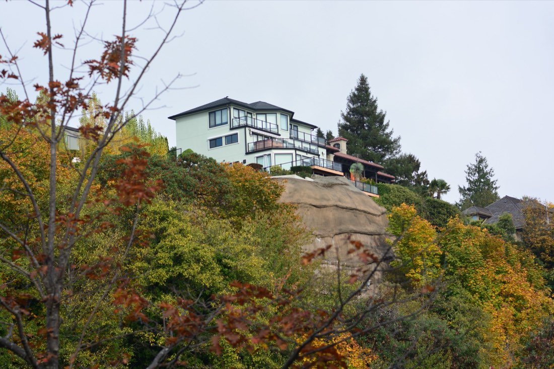
A DADU on a flat, clean Seattle lot can ride the pre-approved path to a permit in weeks. Put a single environmentally critical area on the same lot and that path closes. The design reverts to standard review, a critical-areas review is added, and on sloped or slide-prone ground a geotechnical engineer joins the project before SDCI will even look at the building permit. The ground, not the code, becomes the schedule.
This is not an edge case. The City maps ten kinds of critical areas, and a meaningful share of Seattle's residential ground — the bluffs, the ravines, the old creek valleys — carries one. Here is what each designation is, what it does to your permit, and how to find out whether your lot has one before you spend on design.
Every ECA on a property removes the pre-approved standard-plan path. That is the single most predictable cost driver on a sloped Seattle lot, and it is knowable before you pay a designer.
The ten critical areas SDCI maps on Seattle lots
SDCI's ECA Code page and SMC 25.09 define the list, and it splits into two kinds: areas that protect environmental function, and areas that make building harder.
- Landslide-prone areas — both potential and known landslide ground.
- Liquefaction-prone areas — loose, saturated soil that loses its strength in an earthquake.
- Peat-settlement-prone areas — peat and organic soils that settle when the water table drops.
- Seismic hazard areas — mapped seismic-hazard ground.
- Steep slope erosion hazard areas — slopes of 40% or greater.
- Volcanic hazard areas — mapped volcanic-hazard ground.
- Flood-prone areas — mapped floodplain.
- Wetlands — with buffers that can consume a small lot.
- Fish and wildlife habitat conservation areas — including riparian watercourses (all streams plus Haller and Bitter Lakes) and riparian management areas, the land within 100 feet of a watercourse.
- Abandoned landfills — which bring settlement and methane review.
The four that show up on the average DADU job are landslide, steep slope, liquefaction, and peat. The first two gate the permit. The second two mostly gate the foundation budget. The difference is the whole point of this guide.
The tree and critical-area pre-check screens your parcel against SDCI's mapped critical areas and the tree canopy, before you pay an arborist or a geotechnical engineer to tell you the same thing.
What an ECA does to your DADU permit path
The pre-approved standard plan path requires a lot with no environmentally critical areas. Add one and the project reverts to a standard building permit with critical-areas review — no Master Use Permit on the average cottage, but a longer, more careful review that does not run on the 2-to-6-week schedule. Measured across SDCI permit records since 2024, pre-approved DADU permits run a 62-day median from application to issue, against a 138-day citywide median on the standard path — and critical-areas review runs on top of that.
What the review actually demands depends on which designation you have. A slope or landslide designation normally means a geotechnical report before SDCI accepts the application. A wetland or riparian designation means buffers and a critical-areas report. A flood designation means habitable space may need to be elevated. Each one is a different set of consultants and a different month on the calendar.
If a protected tree sits inside that critical area, the tree rules stack on top of the ECA rules — a Tier 2 tree on a steep slope is two reviews, not one. The tree half of the equation is covered in our Seattle tree ordinance tiers guide.
When an ECA triggers a geotechnical report — and what it costs
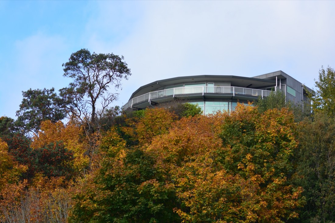
The geotechnical report is the consultant people do not see coming, and the one that tells SDCI the ground will hold the foundation. SDCI keeps a dedicated page for geotechnical reports because the requirement is that common on Seattle ground.
The triggers, in plain terms: steep slope and landslide designations almost always require one. Peat and liquefaction usually require one, but rarely kill the project — they change the foundation from a standard spread footing to something deeper or reinforced. A flat, hazard-free lot usually skips the report entirely. Plan on $2,500 to $5,000 for the report as a planning estimate, and more for the engineered foundation it may recommend.
The ground is the only part of the job you cannot argue with. On a bluff lot I priced the foundation first and the cottage second, because the soils report — not the floor plan — was going to set the number either way.
Steep slope, landslide, and the buffer that moves your cottage
Where the critical area sits matters as much as whether it is there. A steep slope ECA under SMC 25.09 carries a buffer and a setback from the top and toe of the slope — typically a 15-foot buffer plus a 15-foot setback unless modified. A wetland can carry a buffer of 50 to 300 feet. A riparian corridor runs its protection 100 feet from the watercourse. On a 5,000-square-foot lot, a buffer like that can remove the whole rear yard.
Critical-area buffers, side by side
How far from the feature the protected ground extends. Steep slope shows the buffer plus setback; wetlands and riparian corridors carry wider, variable buffers.
Buffer figures from SMC 25.09 and SDCI's ECA guidance. Wetland buffers are site-specific; the 100-foot riparian management area is stated on SDCI's ECA Code page.
This is the practical consequence for a DADU: a buffer does not just say "do not build on that strip." It says the cottage has to fit in what is left after the strip is set aside, and if the rear yard is where the buffer is, the cottage moves toward the house or does not fit at all. Where a buffer swallows the buildable area, SDCI's Tip 330 on yard, setback, steep-slope, and wetland buffer variances is the path to relief. The customized feasibility report measures the buildable envelope against exactly these constraints for your address.
The maps are advisory — how to confirm an ECA
One thing SDCI states plainly, and homeowners misread: most ECA maps are advisory. They flag where an ECA is likely; SDCI confirms it with a topographic survey or a wetland report, not the map alone. A couple of designations are map-driven — priority habitat areas and peat-settlement-prone areas — but for slopes and wetlands the survey is what counts. The flip side is worse: your lot can have an ECA that is not on the map.
There is also a separate jurisdiction inside the Shoreline District — all land within 200 feet of the shoreline, plus hydrologically connected wetlands and submerged land. Inside it, the pre-2017 ECA regulations still apply, and the Tips and Director's Rules SDCI publishes for ECAs explicitly do not. If you are near the water, you are reading a different rulebook.
For lots that do carry an ECA, SDCI offers ECA exemptions and steep-slope development relief. They are worth knowing about, but they are a variance process, not a shortcut — plan on the review either way.
The $39 Tree & Critical-Area Pre-Check maps the ECA hits on your parcel and tells you whether a geotech is even needed — before you pay one.
Where the hazard ground is in Seattle
The critical-area risk is not spread evenly. It concentrates on the bluffs and the valleys, and the measured neighborhood data makes that concrete. Alki & Admiral carries the highest steep-slope share in the city at 22.3%, with nearly a third of the ground mapped as potential landslide. Magnolia is the same story on its bluff: 13.5% steep slope and a large slide-prone share. Queen Anne and Mount Baker follow close behind.
Steep-slope ground by neighborhood
Share of each neighborhood mapped as steep slope, measured from City of Seattle open data. Bluff neighborhoods lead by a wide margin.
Measured from City of Seattle open data — Environmentally_Critical_Areas_ECA, clipped to each neighborhood. See the full per-neighborhood breakdown on our neighborhood hub.
At the flat end of the range, Wallingford is 1.9% steep slope and Green Lake is about as flat — the rare corners of the city where the ground is genuinely not the constraint. If you are shopping for a DADU-friendly lot or trying to read your own, the neighborhood profiles show the measured slope, slide, and liquefaction shares block by block.
The fastest way to know for your specific address is to run the lot through the customized feasibility report, which maps every ECA layer against your parcel and tells you whether the pre-approved path is even open. Or start free with the homeowner checklist and work down from there.
Frequently asked questions
What are environmentally critical areas in Seattle?
Environmentally critical areas (ECAs) are mapped parts of Seattle that protect environmental function or pose a development challenge. Under SMC 25.09 they include landslide-prone areas, liquefaction-prone areas, peat-settlement-prone areas, seismic hazard areas, steep slope erosion hazard areas (40% or greater), volcanic hazard areas, flood-prone areas, wetlands, fish and wildlife habitat conservation areas (including riparian corridors), and abandoned landfills.
Does a critical area remove the pre-approved DADU plan path?
Yes. Any ECA on the property disqualifies the expedited pre-approved standard-plan path and adds critical-areas review to a standard building permit — a longer timeline and, for slope and landslide designations, a geotechnical report.
When does a critical area trigger a geotechnical report, and what does it cost?
Slope, landslide, peat, and liquefaction designations typically trigger a geotechnical report, with a planning estimate of $2,500 to $5,000. Liquefaction and peat rarely stop a DADU but change the foundation; known or potential landslide ground usually requires the report before SDCI will accept the application.
How do I find out if my Seattle lot has a mapped critical area?
Use SDCI's online map tool and turn on the Environmentally Critical Areas layer. The maps are mostly advisory, so a topographic survey or wetland report confirms whether an ECA is actually present — and your lot can have an ECA that is not shown on the maps, so confirm before relying on the pre-approved path.
The Seattle DADU Pro Guide walks through the critical-area rules, buffers, and permit roadmap in one place. Before you spend on design, run the Tree & Critical-Area Pre-Check ($39) on your address — or the full customized feasibility report for the complete buildable-envelope and permit-path picture.
Keep reading. A critical area rarely travels alone: the Seattle tree removal permit rules for a DADU stack on top of ECA review, and the Seattle DADU permit guide shows what the loss of the fast path costs in weeks.
This article is educational and preliminary. It is not legal advice, architectural advice, engineering advice, or an official determination by the City of Seattle. ECA designations, buffers, and permit requirements change. Verify all findings against current SDCI guidance at the time of your application, and consult a licensed geotechnical engineer for any lot with mapped slope, landslide, peat, or liquefaction ground.